Summit Road Society
The Summit Road Society (Inc.), formed in 1948, aims to further the vision of Harry Ell, by working to enhance, preserve and protect the nature, beauty and open character of the hills of Te Pātaka o Rākaihautū Banks Peninsula for people to enjoy.
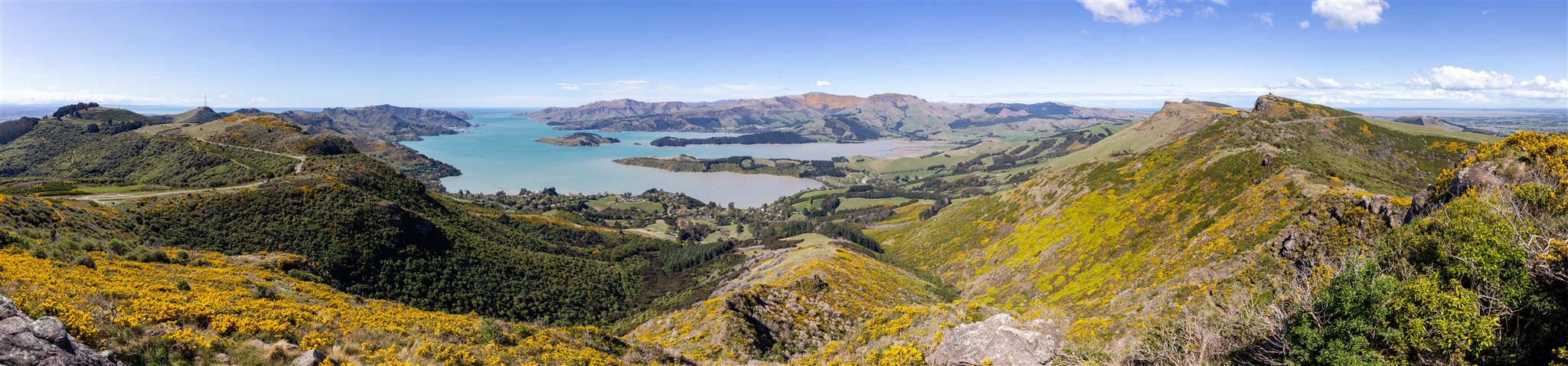
Lyttelton Harbour / Whakaraupō from Mt Ada in Port Hills, Canterbury, New Zealand (Michal Klajban)
Many cities around the world are instantly recognisable from the mountains or hills that provide a backdrop to the urban environment. This is also the case with Ōtautahi Christchurch, New Zealand, where the local hills that lie between Christchurch and its port at Lyttelton are so accessible, friendly, and very widely used. These hills are known as the Port Hills.
They are part of, and form the western flank of a large, volcanically derived peninsula, known as Te Pātaka o Rākaihautū Banks Peninsula. The Summit Road which provides such easy access around the Port Hills of Christchurch owes much to the vision and drive of one man, Harry Ell. It was his idea to involve the public in the appreciation and enjoyment of the natural assets by ensuring that they had access to the area. To this end he developed the concept of a highway together with walking tracks along the summit of the Port Hills, with rest houses spaced at intervals, and, in the early years of last century he worked unceasingly to achieve his aim. He overcame political difficulties and incredible financial constraints, and had laid the foundations for the Summit Road and its rest houses by the time of his death in 1934.
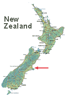
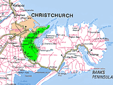
Where is Ōtautahi Christchurch?
Christchurch is situated on the east coast of the South Island of Aotearoa New Zealand. The green highlight is where the Port Hills lie, the Summit Road spans their entire length of 35km.